
MIT researchers have demonstrated that machine learning can recognize vehicle types across 331 traffic cameras in New York City and estimate emissions from each automobile, offering street-level monitoring with unusual precision and scale. The work comes from the MIT Senseable City Lab and is extended in a new Routledge book, How AI Sees the City: Urban Visual Intelligence. For companies that collect or analyze visual data, the message is practical: ordinary cameras become measurement instruments, while privacy and fairness risks grow in parallel.
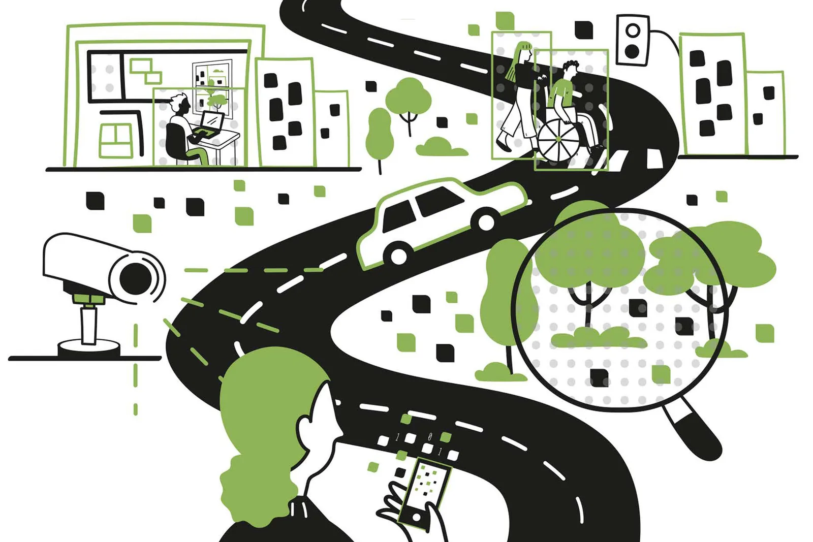
How street cameras become emission monitors
The New York study classified vehicles visible to municipal cameras and linked each class to emission estimates, so planners could see pollution sources vehicle by vehicle rather than from aggregate sensors. The same approach can untangle why traffic snarls at specific points, flag dangerous features of intersections, and show which zones of plazas and parks draw visitors. A separate Senseable City analysis of 400,000 Airbnb listings worldwide found that interior design styles still vary by geography instead of converging into one global style. In greenery research, satellite views measure tree cover while phone and street images reveal how much green people actually see day to day, a factor tied to reported wellness.
Fabio Duarte describes the method as treating digital images as data and quantifying features of the city, with each image functioning as a dataset processed by computer vision. Fan Zhang frames the value not as reviewing millions of pictures but as linking visible elements — streets, buildings, greenery, traffic, public space — to how cities function and how residents experience them. The authors present this as a scaled version of earlier fieldwork: Kevin Lynch mapped perceptions with paper and pen, while current models apply similar observation across many districts and dimensions. The book team includes Duarte, Martina Mazzarello, lab director Carlo Ratti and Peking University researcher Fan Zhang, building on a lab founded in 2004 to study urban dynamics with data.
Visual records have long shaped planning, from Roman marble maps to photography of Haussmann's rebuilding of Paris and tenement crowding on New York's Lower East Side in the 19th century. Lynch, a former MIT professor, systematized the approach in the 1960 book The Image of the City, while sociologist William H. Whyte, known for The Organization Man, later studied public spaces through close observation. Camera density now defines the scale: London, an early CCTV adopter, has about 210 cameras per square mile, while eight of the ten most camera-heavy cities are in China and Shanghai exceeds 5,000 per square mile. Debate over traffic-camera use in the U. S. continued this year, and University College London scholar Michael Batty described the new book as a guide to improving design with urban analytics, AI and large language models.
What visual AI means for companies
For operating companies, the near-term effect is wider availability of street-level analytics for location decisions, logistics and facility management. Retailers and developers can compare foot traffic across plaza zones, logistics teams can diagnose congestion causes by intersection, and property teams can audit sidewalks, street activity and visible greenery without manual counts. Large organizations can combine municipal feeds, vehicle fleets and phone imagery at city scale, while smaller firms can start with off-the-shelf vision models on a few cameras or listing photos. The difference is scope rather than access: pilots built on existing cameras cost less than sensor networks, but city-wide coverage still requires data agreements and processing capacity.
The constraints center on surveillance and bias rather than model accuracy alone. The authors warn that safety gains from intensive video recording must be weighed against erosion of personal freedom and potential abuse under constant monitoring. Models trained mainly on majority population groups may assess minority groups, neighborhoods or entire cities less reliably, reproducing prior perceptions instead of underlying conditions. Duarte stresses that AI is not neutral because it reflects how it was taught to see, while Mazzarello notes that human observation carries its own bias and needs guidance. Before adoption, firms should verify training data composition, retention periods, consent rules and whether results were validated outside the original city.
A useful marker will be whether emission-mapping and safety-audit methods move from single-city studies to repeated deployments under published camera-use rules. If additional municipalities disclose coverage, accuracy checks and data-handling terms, visual urban intelligence is becoming an operational input. Without such disclosures, it stays a research demonstration with limited transfer to commercial decisions.